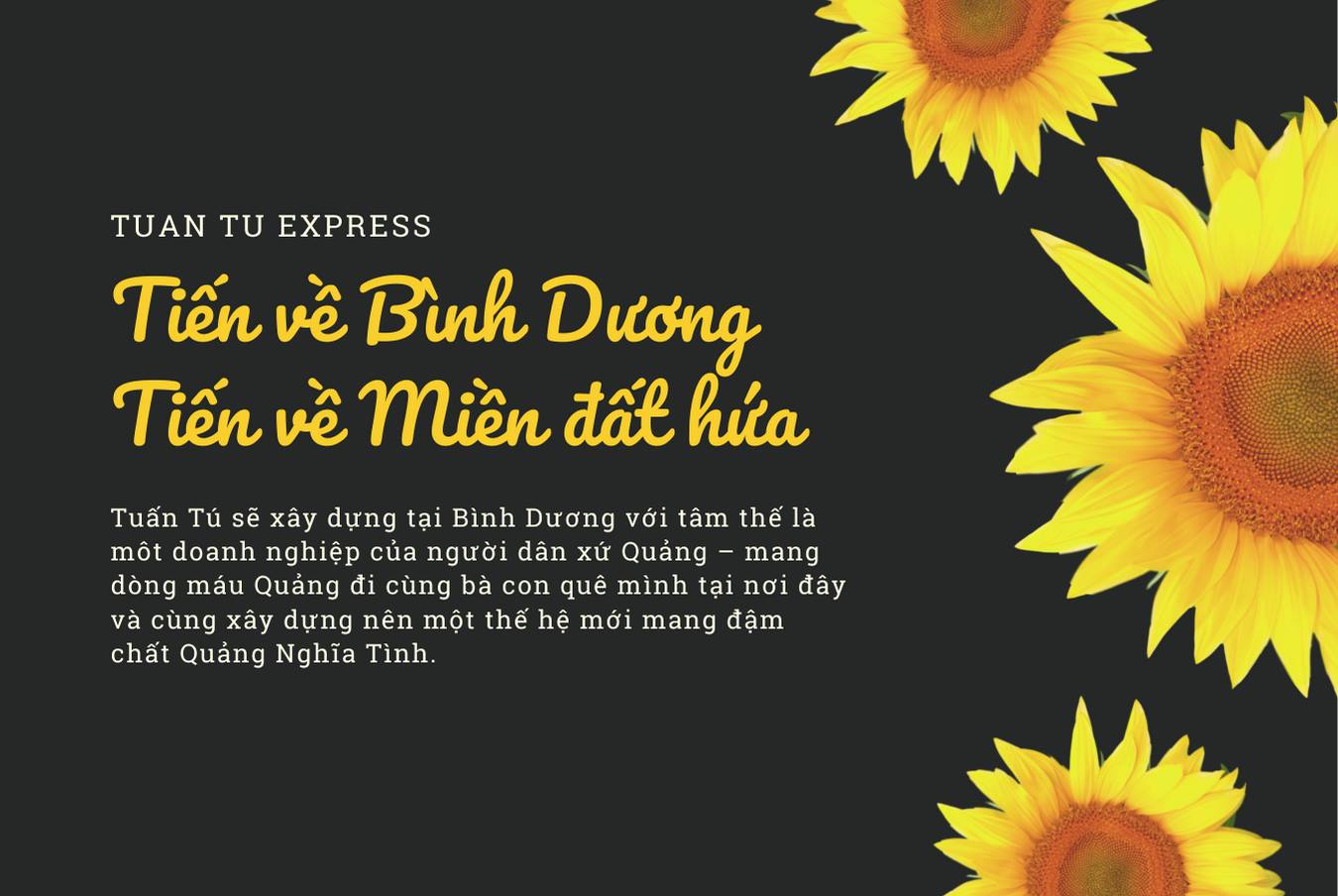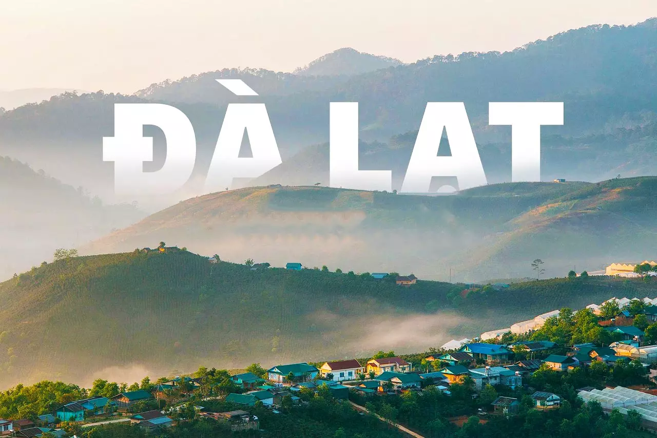
Đà Lạt thủ phủ du lịch
04/08/2025
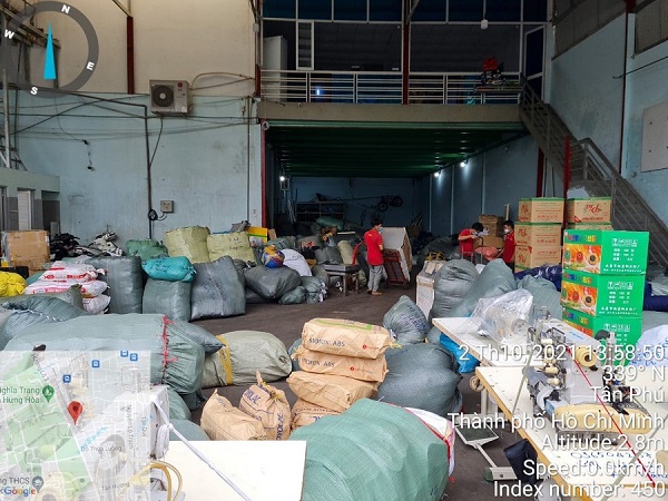
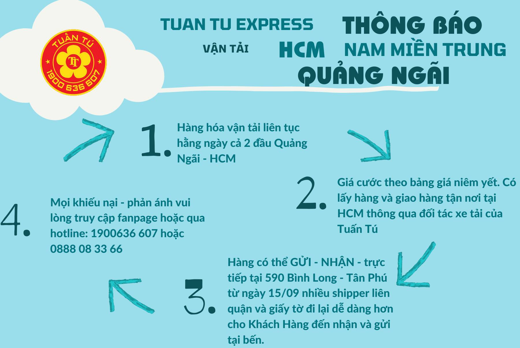
Post: Tu?n Tú lúc: 23:07 11/07/21 2809
Orientation & Topography & History:
Formerly known as Cù Lao Ré, Ly Son Island is a district within Quang Ngai, a central province which generally escapes the notice of most travellers (with the exception of My Lai, the site of the 1968 massacre). The district comprises two main islands, Ly Son (also known as Đảo Lớn – Big Island) and Đảo Bé (Small Island), both of which are permanently inhabited, with a population of around 20,000. Ly Son Island is divided into two ‘communes’. These are: An Vĩnh (the western half of the island) and An Hải (the eastern half). Đảo Bé (Small Island) is also a separate ‘commune’, called An Bình. On Ly Son Island, both An Vĩnh and An Hải communes are further divided into two villages: Thôn Tây (western village) and Thôn Đông (eastern village). Ly Son Island is essentially a spread of volcanic craters rising from the ocean. Three large craters (and two smaller ones) were formed some 25-30 million years ago. The extinct craters rise from the villages and patchwork of fields that make up the rest of the island’s topography. (For a dramatic introduction to Ly Son’s topography, take at look at the island on Google Maps satellite view, where the craters are clearly visible and, rather disturbingly, bring to mind the bird’s-eye photographs of wartime Vietnam, pockmarked by heavy bombing.) There’s a constant rumble wherever you are on Ly Son island. Like peals of distant thunder, this is the sound of waves breaking out on the reef that encircles the entire island, like a natural sea wall, protecting Ly Son from direct hits.
At points on the island where the craters meet the ocean, Ly Son’s topography is very striking & stark
As is often the case with lesser-travelled destinations in Vietnam, I found it difficult to find much information about the history of Ly Son*. Archaeologists have uncovered evidence of Sa Huynh artifacts and settlements on the island. Sa Huynh was a iron age culture that flourished along the central coast during in the first millennia BC. The indianized kingdom of Champa was active on the island before succumbing to the Vietnamese who swept in from the north, eventually setting up a colony on the island from the 17th century. From Cham times, the Xo La Well, on the south coast, was used to supply passing ships with mineral-rich freshwater. During the Reunification War, the US used the island as a radar base. Whale worship has been a fundamental aspect of local culture. As with many Vietnamese fishing communities, whales were (and are) seen as deities of the ocean and protectors of sailors. There are several ‘whale temples’ on Ly Son (see Temples & Pagodas for details). There’s a military presence on the island, partly because most islands in Vietnam are considered border areas, but also partly due to the ongoing longstanding dispute with China over the Paracel and Spratly islands, which lie to the east of Ly Son. Seafood, garlic and other alliums (onions, shallots etc.) are the islands’ main industry. Indeed, as you travel around Ly Son, you’ll notice that the island actually smells like garlic (from the fields and the markets) and seaweed (drying by the roadside). However, tourism increasingly accounts for a significant proportion of the local economy and will surely be the main employer and earner in the not too distant future. There’s a fair amount of construction going on, including new embankments, hotels, and a large new port, so expect some major changes in the coming years. When I was on Ly Son, I noticed that peoples faces were different from the mainland – more angular, with stronger features. And, like many islands, the accent is quite unique.
*Please note: Historical information in this article is based on my reading of various sources & conversations with people: I am not an historian.
Bình luận đã tắt